

About T.R.E.A.D
Most of us love our Region’s outstanding systems. These trails provide exercise, escape, and enjoyment. We understand that it’s vital to take care of the system that has quickly become one of the most recognized assets of our community. And visitors are discovering and enjoying our trails, too.
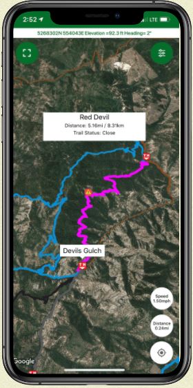
TREAD is leading a project called TREAD Map. This comprehensive trail mapping app allows locals and visitors to plan the next outing, share experiences and conditions out on the trails or water, create connections with other trail enthusiasts and provide all the various land managers with a portal to create two-way communication with user groups and individuals.
Is the parking lot crowded? Is there a tree down on the trail? Wondering what the current, real-time conditions are like? Concerned about avalanche danger? Interested in discovering where that fork in the trail leads? TREAD Map provides dozens of data overlay options that allow users and land managers to customize information.
This tool has been developed to provide real-time conditions and closures, weather, events, volunteer coordination, and much more to those who want or need to know.
Learn More
 TREAD Map
TREAD Map is a one-stop, comprehensive, recreation mapping app for all trail users, all seasons.
Informed by land managers and local enthusiasts, TREAD Map offers up-to-date recreation maps, custom layers, trail conditions, current safety information, community events, and volunteer opportunities.
![]()

TREAD In the News Video from KOIN 6